
An Entire Country as One AR Object
Singapore wants to "digitize" itself completely - so robots and AR devices can understand the city as precisely as GPS understands coordinates.
Niantic Spatial and the Singapore Land Authority want to build a VPS at the scale of an entire country.
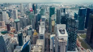
Here's the idea: Singapore already has detailed 3D scans of the whole city, made for maps and urban planning. Normally, for AR navigation to work precisely, every street has to be scanned separately - slow and expensive.
The question here is whether you can just take existing government data and turn it into a precise navigation system, without rescanning anything from scratch.
If it works, this won't just be navigation in an app. It'll be precise, centimeter-level positioning for robots, drones, emergency services, and any AR object that needs to know exactly where it is.
Right now, this kind of precise positioning system is usually built for one specific place - a museum, a mall, a single block. Here, they're trying to do the same thing, but for an entire country at once.
If it works, AR stops being "dots on a map" and becomes city-scale infrastructure.
That same invisible layer we keep talking about - the one everything else gets built on.
Post #212
377
- 🔥 3
- 👀 2