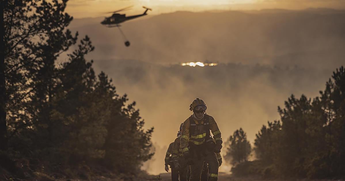
In the last 30 years, fire management in Spain has shifted from manual estimation to high-tech analysis. Emergency services are now using artificial intelligence to track fires in real-time across the country.
This new approach pulls data from several high-tech sources to predict how a fire will behave.
➖ Copernicus and Landsat satellite constellations provide aerial imagery.
➖ Drones scan the area for detailed views.
➖ Sensors on the ground report specific conditions.
All this information flows into the EFFIS to help leaders make decisions. Regions like Valencia, Madrid, and Galicia are already starting to use these tools. José Vicente Oliver, a professor at the Universitat Politècnica de València, notes that this tech allows for precise modeling instead of just guessing the height of flames.
Before this shift, teams relied on radio updates and static paper maps. Emergency workers had to color in zones by hand to decide where to send crews. By contrast, current models provide precise, geolocated data that lets responders see exactly where the danger is at any moment.
Technology turns guesswork into a precise plan.
#Spain #AI #Tech
ABC Tecnología
Subscribe