
🚗 Mapflow Roads Model — Update!
We've released a significantly improved version of our Roads segmentation model!
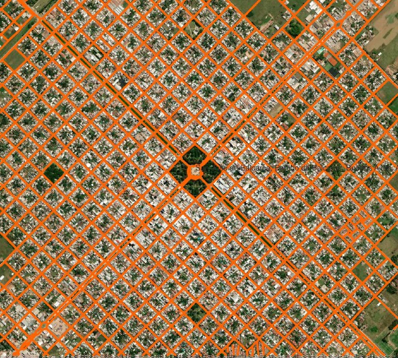
Roads is one of Mapflow's core basemap models, primarily designed to extract narrow roads and local road networks, especially in areas where OpenStreetMap and other public maps have limited coverage.
📊 How much better?
We evaluated the new model using SpaceNet 3 benchmark datasets and our validation data. Across seven datasets, compared with the previous one:
• IoU: +55% — more accurate road coverage
• Topo-F1: +63% — better road network connectivity
The second metric is especially important for routing, where roads may be partially hidden by trees, buildings or shadows.
🗺️ Two workflows available:
• 🚗 Roads — connected road networks, postprocessed into buffered polygons for easier mapping.
• Buildings + Vegetation + Roads — lighter road postprocessing, better suited for combined land-cover analysis.
👉 Give it a try and rate your processing results
Post #874
76


- 🔥 6
- 👍 3