TGViewer
Channel Public Channel
Bengaluru | Bangalore

Bengaluru | Bangalore

@bangalore

πŸŒ† Bengaluru (also called Bangalore) is the capital of India's southern Karnataka state. The center of India's high-tech industry, the city is also known for its parks and nightlife πŸ›£οΈ.
Subscribers
10.1K
Photos
28
Videos
0
Links
1K

Showing posts older than #1289 Β· Back to latest

Older Posts 20 shown
Post #1288 5.07K
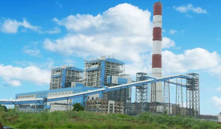
​​Yermarus Thermal Power Station

Yermarus Thermal Power Station is a coal-based thermal power plant located in Yermarus village in Raichur district, Karnataka. The power plant is owned and operated by the Karnataka Power Corporation. This is India's first 800MW super critical thermal power plant and Bharat Heavy Electricals is the EPC contractor for this power project.
━━━━━━━━━━━━━
πŸ—Ί @Bangalore 🏟
  • ❀ 3
  • 🐳 2
  • πŸ’― 1
Post #1287 5.13K
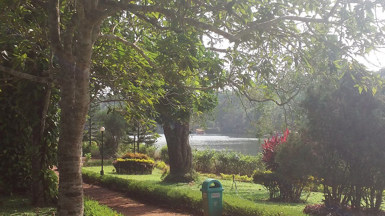
​​Pilikula lake

Pilikula Nisargadhama (or Nisarga Dhama) is a multi-purpose tourist attraction, at Vamanjoor, eastern part of Mangaluru city in Karnataka, managed by the District Administration of Dakshina Kannada. It is a major tourist attraction of Mangalore. It attracts large number of tourists due to the availability of multiple facilities. In the Tulu language, "pili" means tiger and "kula" means lake. The name Tiger Lake is because tigers used to come to this lake to drink.

The state of Karnataka also has a nature preserve called Kaveri Nisargadhama, near Kushalnagar.

━━━━━━━━━━━━━
πŸ—Ί @Bangalore 🏟
  • ❀ 6
  • 🐳 2
  • πŸ’― 2
Post #1286 4.56K
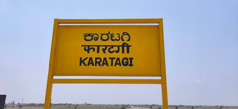
​​Karatagi

Karatagi is a town and taluk headquarters of Karatagi taluk and it is located in Koppal District in Karnataka, India. It is one of the most important commercial centres in the district. The town is made up of multiple paddy fields, which are irrigated by the Tungabhadra Canal. Karatagi is known for its numerous rice mills, which can be found in the town and the surrounding areas. Karatagi is one of the seven towns that form the Koppal locale. It was initially formed when the Gangavathi taluk was separated into two new taluks along with Karatagi and Kanakagiri. The town is flanked by the Tungabhadra River to the east, Kanakagiri to the west, Sindhanur to the north, and Gangavathi to the south.
━━━━━━━━━━━━━
πŸ—Ί @Bangalore 🏟
  • ❀ 7
  • 🐳 2
  • πŸ’― 1
Post #1285 4.18K
​​Supa Dam

Supa Dam is built across Kalinadi (Kannada) or Kali river in the state of Karnataka in India and is the tallest dam in Karnataka. The 101 meters high and 332 meters long dam has 3 gates of 15x10 meters.[1] The dam's gross capacity is 4.178 cubic km or 147 tmc ft. It is situated at GaneshaGudi, which is in Joida taluk of Uttara Kannada district. The dam forms the main storage reservoir to all the power houses in Kalinadi hydro power project of total installed capacity of 1180MW, which includes the main 810-MW Nagzari power house. The power house at the foot of the dam has two 50-MW electricity generators. The electricity generated is supplied to different parts of Karnataka. The dam was built by Hindustan Steel Works Construction Limited and is designed, owned and operated by Karnataka Power Corporation Limited, owned by the government of Karnataka. The power house was commissioned in 1985. The dam is basically used for generation of hydro electricity.
━━━━━━━━━━━━━
πŸ—Ί @Bangalore 🏟
  • ❀ 4
  • 🐳 2
  • ❀‍πŸ”₯ 1
Post #1284 4.13K
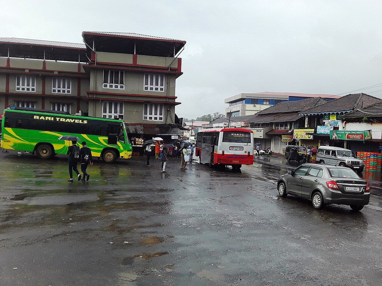
​​Gonikoppal

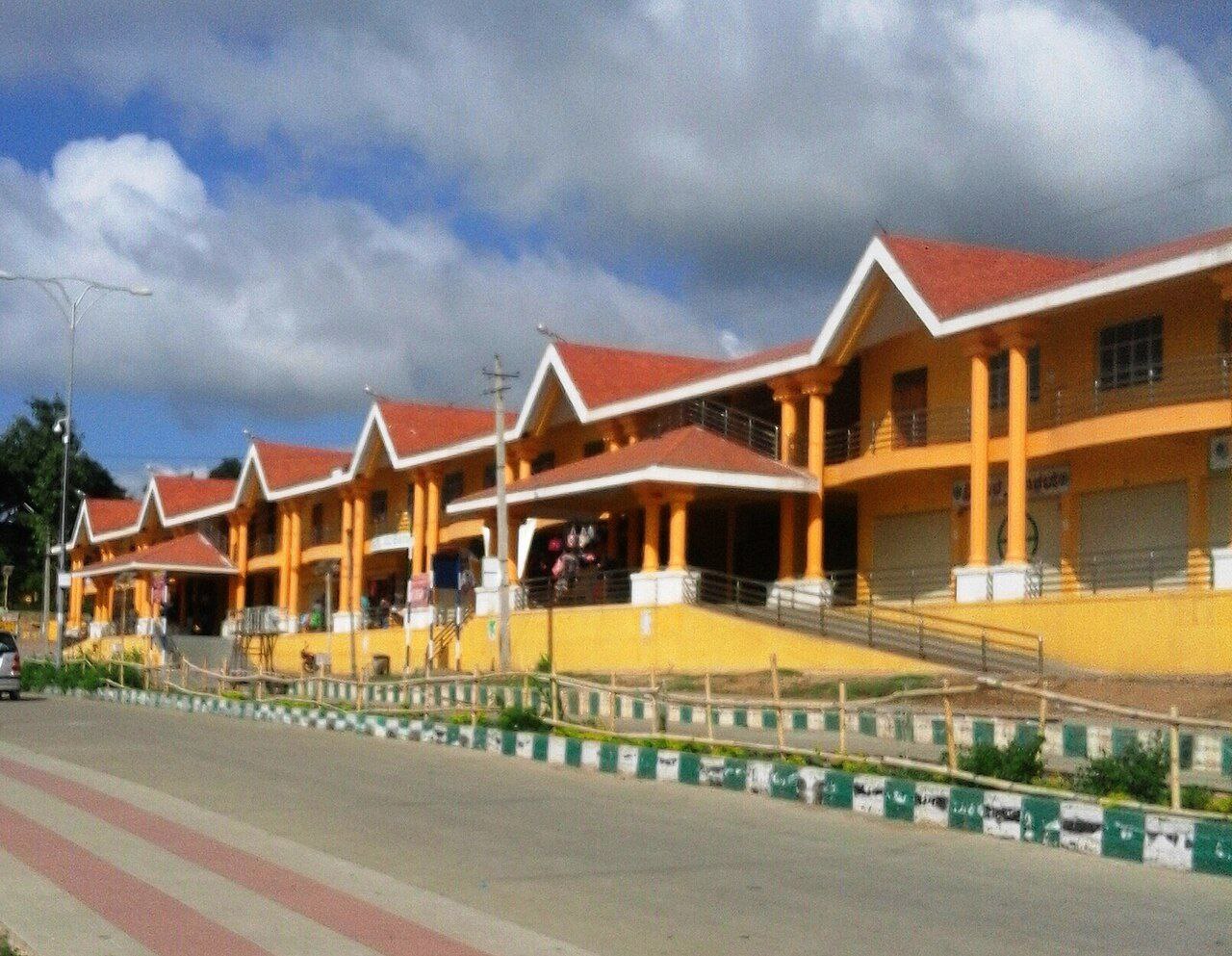
Gonikoppal, also called Gonikoppa is a census town in the Kodagu district of the Indian state of Karnataka. According to 2011 census, Gonikoppal had a population of 8,306. Males constitute 52% of the population and females 48%. Gonikoppal has an average literacy rate of 78%, higher than the national average of 59.5%: male literacy is 83%, and female literacy is 73%. In Gonikoppal, 13% of the population is under 6 years of age.

Gonikoppal is in Ponnampet taluk and is also the commercial hub of Kodagu district due to its proximity to Mysore District and the neighboring Kerala state.

━━━━━━━━━━━━━
πŸ—Ί @Bangalore 🏟
  • ❀ 6
  • 🐳 2
  • ❀‍πŸ”₯ 1
Post #1283 3.49K
🎈Is your english not as good as you wish it should be?

🎈Do you want to practice english but can't due to various circumstances?

🎈 Do you wish to learn english in a fun and easy manner?

πŸ“« To solve the above issues join us and start learning

https://t.me/chatting

▢️ Join @Chatting

🚨 Rules for chatting 🚨
  • ❀ 2
Post #1282 3.71K
​​Belur

Belur (IPA: [beːluːru]) is a town and taluk in Hassan district in the state of Karnataka, India. The town is renowned for its Chennakeshava Temple dedicated to Vishnu, one of the finest examples of Hoysala architecture and the largest Hindu temple complex that has survived from pre-14th-century Karnata-Dravida tradition. It has been a Vaishnava Hindu pilgrimage center since at least the 12th century. It was also the first capital of the Hoysala dynasty, before they built Dwarasamudra (modern Halebid). Belur is also Town Municipal Council and taluka. The Hoysala monuments at Belur and Halebidu have been declared as UNESCO World Heritage Sites in 2023.
━━━━━━━━━━━━━
πŸ—Ί @Bangalore 🏟
  • ❀‍πŸ”₯ 4
  • ❀ 2
  • πŸ’― 1
Post #1281 3.67K
​​Shivamogga Zoo & Safari

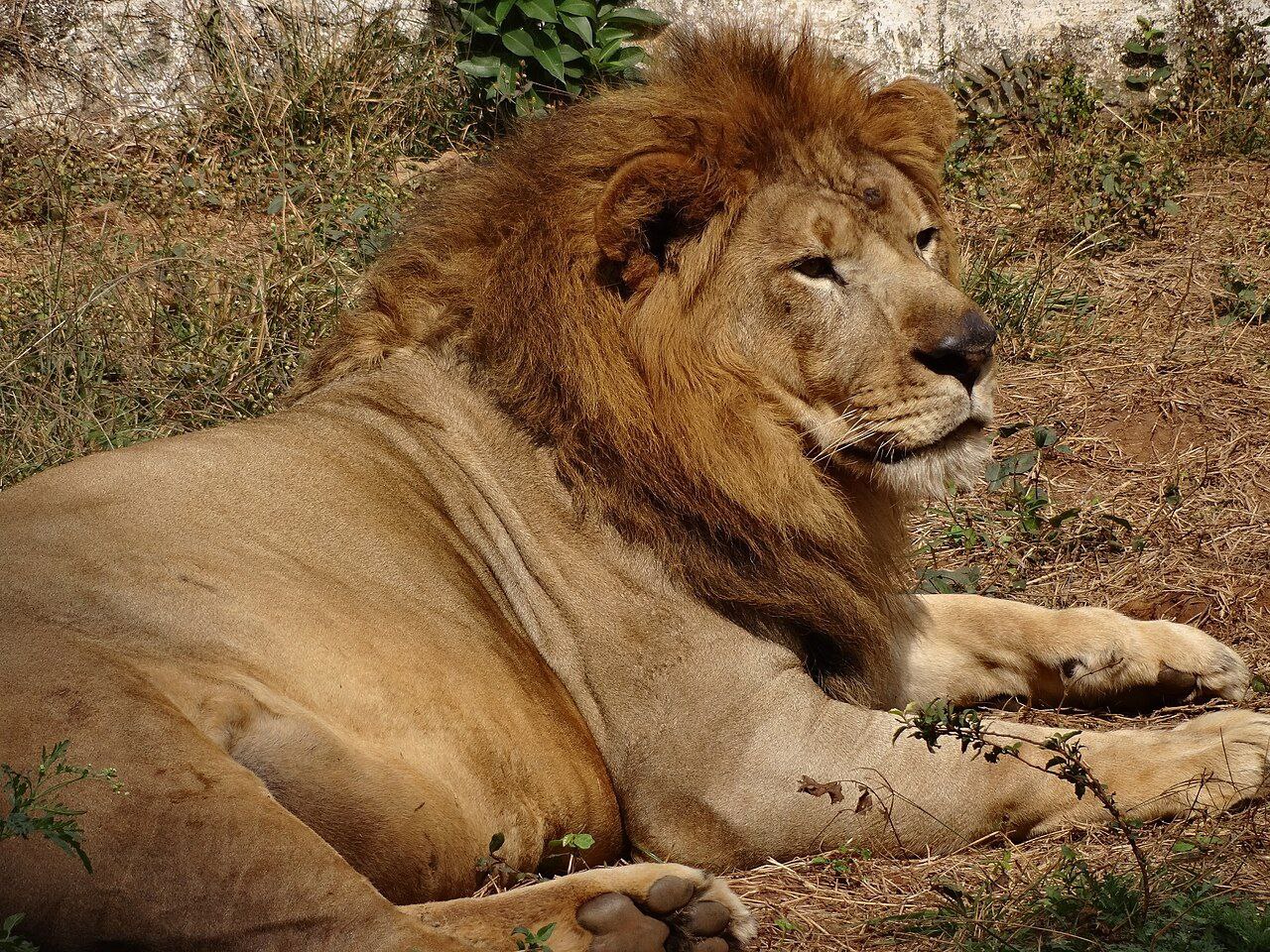
Tiger and Lion Safari, Tyavarekoppa, Shimoga is located in the state of Karnataka, India, with an area of 250 hectares (2.5 km2), at a distance of about 10.0 km (6.2 miles) from Shimoga town, and 275.0 km (170.9 miles) from Bangalore. Started in 1988, it is Karnataka's second safari park, after Bannerghatta National Park near Bangalore. Despite the name, the lion and tiger are neither the only animals here, nor are they the only big cats here.
━━━━━━━━━━━━━
πŸ—Ί @Bangalore 🏟
  • ❀ 2
  • ❀‍πŸ”₯ 2
  • 🐳 2
Post #1280 3.75K
​​Ghataprabha River

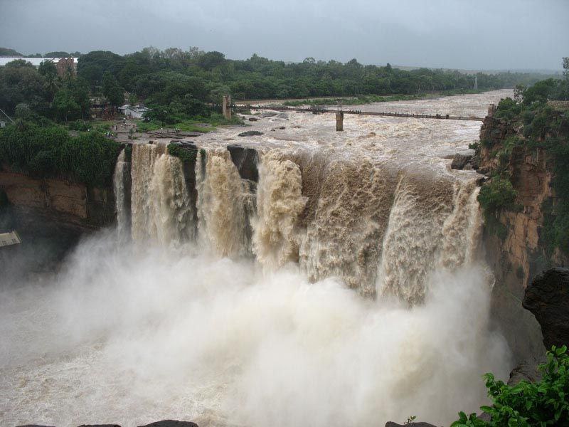
The Ghataprabha river in India is an important right-bank tributary of the Krishna River and flows eastward for a distance of 283 kilometers before its confluence with the Krishna River at Chikksangam. The river basin is 8,829 square kilometers wide and stretches across Maharashtra and Karnataka states. The source of the river can be identified from Phatakwadi Lake 15.939335Β°N 74.059535Β°E, at an elevation of 750 metres above mean sea level. The river is crossed by a suspension bridge near the Gokak Falls. The bridge whose construction started in the late 1800s was completed in 1907.
━━━━━━━━━━━━━
πŸ—Ί @Bangalore 🏟
  • ❀ 6
  • 🐳 2
  • πŸ’― 1
Post #1279 4.01K
​​Pajaka Kshetra

Pajaka Kshetra is the birthplace of a renowned philosopher, Shree Madhavacharya. The place is believed to be highly sacred and has been mentioned in a biographical poem named Sampraday Paddhati written by Shree Hrushikesha, a disciple of Shree Madhavacharya. Several facts and monuments associated with Madhavacharya have been maintained in the kshetra that devotees and tourists can explore.
━━━━━━━━━━━━━
πŸ—Ί @Bangalore 🏟
  • ❀‍πŸ”₯ 2
  • 🐳 2
  • πŸ’― 2
  • ❀ 1
Post #1278 4.2K
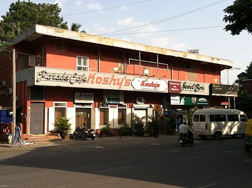
​​Koshy's

Koshy's Parade CafΓ©, popularly known as Koshy's, is a family-owned restaurant in Bangalore, India. Jawaharlal Nehru, Queen Elizabeth II and Nikita Khruschev are among those who have dined at Koshy's. Koshy’s started off as a bakery in 1940, set up by P.O. Koshy, a Syrian Christian from Kerala. In 1952, the restaurant was built next to the bakery. After the death of P.O. Koshy, his sons took over the establishment. Since the 1990s, third generation Koshys, Prem and Santosh, have managed the eatery. The colonial-era restaurant has maintained its old-world decor which is a draw for its clientele. The interior consists of wooden chairs, tables, creaky fans, antique mirrors and shuttered windows. Koshy's regulars include journalists, writers, literati and intellectuals.
━━━━━━━━━━━━━
πŸ—Ί @Bangalore 🏟
  • ❀ 6
  • 🐳 2
  • πŸ’― 1
Post #1277 4.72K
​​Male Mahadeshwara Hills

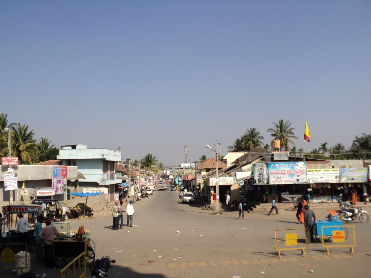
Male Mahadeshwara Betta (Hill), is a pilgrim town located in the Hanur taluk of Chamarajanagar district of southern Karnataka. It is situated at about 150 km from Mysuru and about 210 km from Bengaluru. The ancient and sacred temple of Sri Male Mahadeshwara is a pilgrim centre where Mahadeshwara lived, practiced medicine as Sidda, taught ahimsa to people in and around the seven hills. It draws lakhs of pilgrims from the states of Karnataka and Tamil Nadu. The area of the present temple surroundings is 155.57 acres (0.6296 km2). In addition, the temple has lands at Talabetta, Haleyuru and Indiganatha villages. Amidst dense forest, the temple attracts not only the pilgrims but also nature lovers. The height of the hill is about 3000 feet above sea level.
━━━━━━━━━━━━━
πŸ—Ί @Bangalore 🏟
  • ❀ 5
  • 🐳 2
  • ❀‍πŸ”₯ 1
Post #1276 4.68K
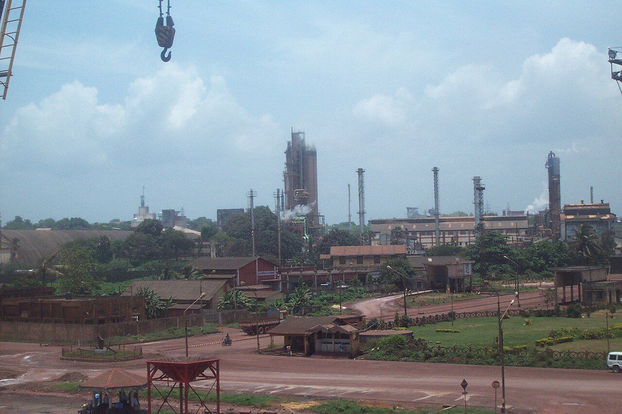
​​Mangalore Chemicals & Fertilizers

Mangalore Chemicals & Fertilizers Limited is the largest manufacturer of chemical fertilizers in the state of Karnataka, India. The company is part of the Adventz Group. The company's corporate and registered office is at UB City, Bangalore and its factory unit is in Panambur, north of Mangalore. The company deals with fertilizers like urea, Diammonium phosphate, granulated fertilizers, liquid fertilizers, soil conditioners, Muriate of potash, soil micronutrients, speciality fertilizers, food grade Ammonium bicarbonate, industrial chemicals like Sulphuric acid and Sulphonated granulated fertilizers. The marketing offices of MCF are located in Karnataka, Kerala, Tamil Nadu, Andhra Pradesh, Telangana and Maharashtra.
━━━━━━━━━━━━━
πŸ—Ί @Bangalore 🏟
  • ❀ 3
  • 🐳 2
  • πŸ’― 1
Post #1275 4.31K
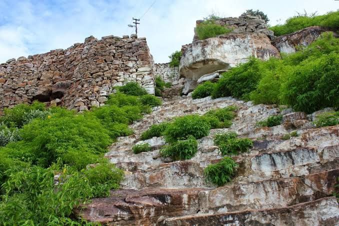
​​Basavakalyana Fort

Basavakalyana fort, earlier known as Kalyana fort, is located in Bidar district in the Indian state of Karnataka. Its historic importance is dated to the 10th century. The capital of Chalukyas was also shifted from Manyakheta to Kalyana in the 10th century. The fort, integral to the Basavakalyana town, is also famous as Karmabhoomi of Basavanna (founder of Lingayatha community) and hundreds of other Sharanas.

Basavakalyana (known in the history as Kalyana) with its fort was the centre of a great social and religious movement, in the 12th century, because of Basaveshwara, the social reformer. It became a seat of learning. Basaveshwara, Akka Mahadevi, Channabasavanna, Siddarama and many more Sharanas are associated with Basavakalyana. Basaveshwara, in particular, fought against casteism and orthodoxy in Hinduism.

━━━━━━━━━━━━━
πŸ—Ί @Bangalore 🏟
  • ❀ 3
  • 🐳 2
  • ❀‍πŸ”₯ 1
Post #1273 3.41K
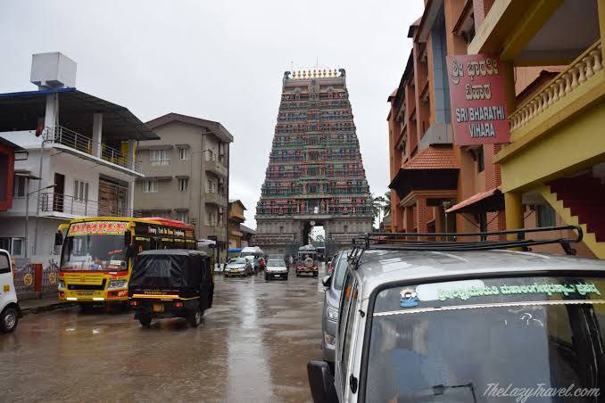
​​Sringeri

Sringeri (IAST: ΕšαΉ›αΉ…gerΔ«; Kannada: [ΚƒriΕ‹Ι‘eːri]) also called Shringeri is a hill town and Taluk headquarters located in Chikkamagaluru district in the Indian state of Karnataka. The name Sringeri is derived from Rishyashringa-giri, a nearby hill that is believed to have contained the hermitage of Rishi Vibhandaka and his son Rishyashringa. In an episode in the Bala-Kanda of the Ramayana, Vasishtha narrates how Rishyashringa brought rains to the drought-stricken kingdom of Romapada. Later the place name was shortened to Shringagiri.
━━━━━━━━━━━━━
πŸ—Ί @Bangalore 🏟
  • ❀ 4
  • 🐳 2
  • πŸ’― 1
Post #1272 3.47K
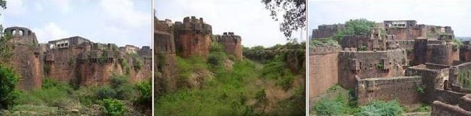
​​Gokak fort

Gokak Fort, located near the Gokak Falls in Belagavi district of Karnataka, holds significant historical value and dates back to the Chalukya dynasty. This ancient fort, perched atop a hill overlooking the Ghataprabha River, was strategically built for military defense and surveillance. The fort is believed to have been an important administrative center during the reign of the Chalukyas and later witnessed the control of various other dynasties such as the Rashtrakutas, Bahamanis, and the Marathas. Its unique location near the river and natural waterfall made it both picturesque and militarily advantageous.

The fort features stone walls, bastions, and remnants of old structures like granaries and guardrooms, reflecting the architectural styles of its successive rulers. Although much of the original structure is in ruins today, Gokak Fort continues to attract visitors for its blend of natural beauty and historical importance. The fort's proximity to the majestic Gokak Falls enhances its appeal, making it a favored destination for history lovers and travelers exploring the rich heritage of Karnataka.

━━━━━━━━━━━━━
πŸ—Ί @Bangalore 🏟
  • ❀ 3
  • ❀‍πŸ”₯ 2
  • πŸ’― 1
Post #1271 3.28K
​​Kollegala

Kollegal (or Kollegala) is the Major taluk in the Chamarajanagara District of Karnataka State in the south of India. Kollegala is well known for its silk industry which attracts traders from all over the state. Until 1956, Kollegala was part of the Coimbatore district of the Madras Presidency. The States Reorganisation Act of 1956 moved Kollegala to Karnataka primarily organising it along linguistic lines. Kollegal is the name derived from the names of two hermits namely 'Kauhala' and 'Galava' who were believed to be instrumental in the development of Kollegala. Kollegala, also called "Silk City", is famous for its handloom silk saree industry.
━━━━━━━━━━━━━
πŸ—Ί @Bangalore 🏟
  • ❀ 3
  • 🐳 2
  • ❀‍πŸ”₯ 1
Post #1270 3.35K
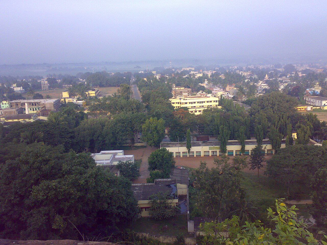
​​Indi

Indi is a city in the state of Karnataka, India. It is the taluk headquarters of Indi Taluk, in the district of Vijayapura. Indi is located at 17.17Β°N 75.97Β°E. It has an average elevation of 465 meters (1525 feet). It is located at the border of Maharashtra, a neighboring state of Karnataka. The soil at Indi is dry and agriculture is dependent on rainfall. But, with the construction of the Upper Krishna project, most of the agricultural land has been brought under irrigation. The Bhima flows through Indi Taluk, originating at the Bhimashankar Hills in Maharashtra.
━━━━━━━━━━━━━
πŸ—Ί @Bangalore 🏟
  • ❀ 4
  • 🐳 2
  • πŸ’― 1
Post #1269 3.2K
​​Basava Sagara

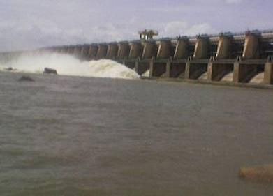
Basava Sagar Dam, previously known as Narayanpura Dam, is a dam constructed across the Krishna River at Yadgir District, Karnataka State, India. The reservoir that it impounds is known as Basava Sagar, and has a total storage capacity of 37.965 tmcft (1.075 km3), with 30.5 tmcft (0.85 km3) live storage. The full reservoir level is 492.25 m MSL and the minimum draw down level is 481.6 m MSL. It was a single purpose project meant only for irrigation, but downstream electrical generation and drinking water considerations enter into its management. The dam is 29 meters high and over 10.637 kilometres (6.610 mi) long, and has 30 gates for water release. 22 Spillway Gates are present in the Dam It took Rs. 50.48 crore to complete.
━━━━━━━━━━━━━
πŸ—Ί @Bangalore 🏟
  • ❀ 3
  • ❀‍πŸ”₯ 1
  • πŸ’― 1
Post #1268 3.23K
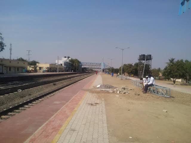
​​Gadag Junction railway station

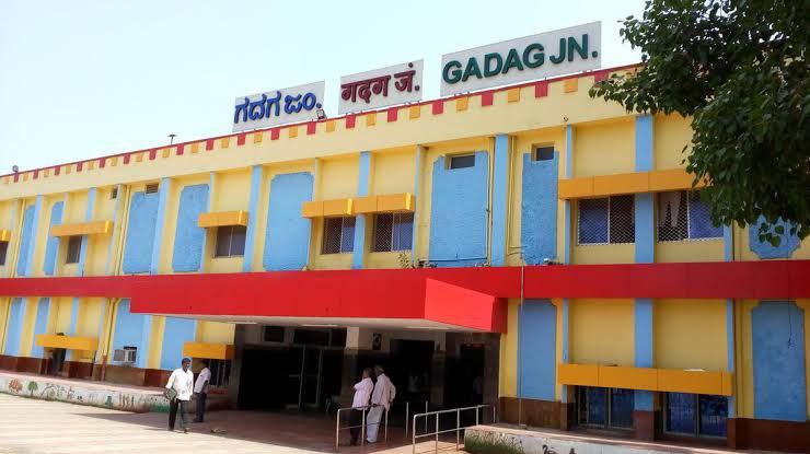
Gadag Junction railway station (station code: GDG) is a NSG-4 Category railway station under South Western Railway in Gadag district, Karnataka. It serves Gadag-Betageri. The station consists of three platforms. The station lies on Guntakal–Vasco da Gama section HDN-7A and also connects the Gadag–Hotgi railway line. The Gadag–Hotgi railway line was converted from metre gauge to broad gauge in December 2008. Amenities at Gadag railway station include escalators at PF-1 & PF2, elevators at PF-1 & PF2, coach positioning display, computerized reservation office, waiting room, retiring room, free Wi-Fi facility, vegetarian and non-vegetarian refreshments, and book stall.
━━━━━━━━━━━━━
πŸ—Ί @Bangalore 🏟
  • ❀ 4
  • 🐳 2
  • πŸ’― 2
Older posts β†’
Threads Profile ViewerView any public Threads profile without an account.Open ThreadLook β†’Writing with AI? Make it sound human.Metric37 rewrites AI drafts so they read naturally. Free AI detector, 1,500 words free.Try Metric37 β†’