TGViewer
Channel Public Channel
YELL SPORT FEST

YELL SPORT FEST

@yellsportfest

Trails, Bike races and other Adventures in Armenia


Discussion and questions: t.me/yellsportfest_chat
Subscribers
614
Photos
309
Videos
1
Links
68
Recent Posts 3 shown
Post #362 128
Saturday, October 24. The third and final day of Stage Race — and the main day of the festival. Three one-day distances join the runners taking on the multi-day race: Yell-6, Apaga-15, and Okon-35. And we’ll kick off our course preview with the shorter distances: all races share the same start, so everyone should read it!

Route stats:
⚡️Yell-6: 6 km 400d+, time limit 3h
🏃🏻‍♀️‍➡️Apaga-15: 15 км 1000d+, 1 aid station, time limit 5h

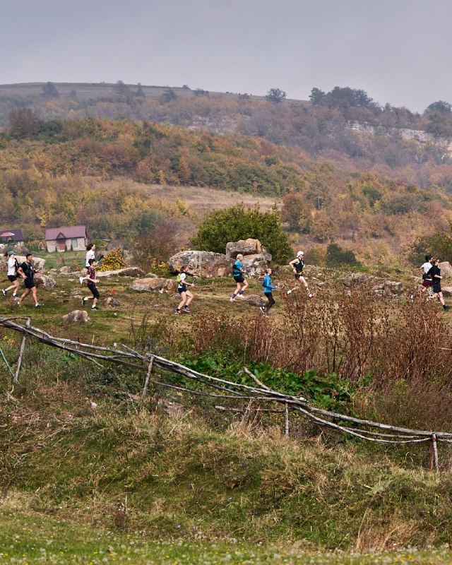
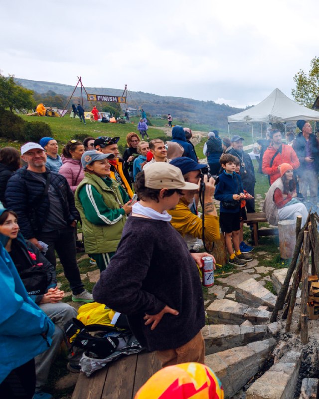
🏁The race starts from the spacious meadow at Yell Extreme Park. For the first 1.5 kilometers, the route crosses the open meadows just below the park — every runner will be out in the open, in full view! By the way, those stones you’ll run past in the very first meters aren’t just stones. They’re the foundations of fortress walls and buildings from an ancient settlement that the locals of Yenokavan call Agakar.

🌿Just before the 2 km mark, the route leaves the fields and returns to the forest trails of Yell Extreme Park. These trails were originally built to connect the zipline platforms, so don’t be surprised if you come across people wearing harnesses and helmets.

🏔Afraid of heights? After the 3 km mark, the course takes you along the cliffs of the Khachakhpyur River canyon. This is an old trail that has been used since at least the 10th century to reach the Lastiver gorge. But stay alert — we’re not heading to Lastiver! As soon as you clear the cliffs, make a sharp right turn and… run along the upper rocky ledge, now in the opposite direction!

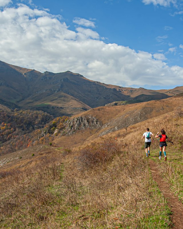
🤯I’m sure you’ll remember the part from 4.5 to 5 km. It’s a straight-up, head-on climb through wild forest. Even the world’s elite trail runners switch to walking here. But don’t panic — the climb isn’t very long. Just three to five minutes, and you’re through.

🏠After a short, flat section, we run to the territory of Apaga Resort. The short course heads downhill toward the finish, while Apaga-15 runners face the longest climb of the day: first, 220 vertical meters up a steep forest trail, followed by another 300+ meters through open meadows. But here’s the good news: there’ll be an aid station roughly halfway up!

⛳️Every climb comes to an end sooner or later, and after the high point, Apaga-15 is all downhill. Part of the route follows the winding bends of a highway under construction, while the rest takes you down rocky shortcuts. And right at the end — even a little asphalt!

🏆And finally, the finish line. A medal, music, hugs from friends with their stories, delicious pilaf or harisa… In other words, everything we love about running finishing trail races!

Route on the map link

🇦🇲🇷🇺Rus and Armenian versions in comments
  • 🔥 11
  • ❤ 1
Post #353 363
⛰Friday, October 23 — Day 2 of the Yell Sport Fest 2026 three-day trail race. We're continuing to Discover Armenia's trails!
Tavush Region, Dilijan District. A run to Mount Dimats, from Haghartsin Monastery.

📌Route stats: 27 km, 1600 m of elevation gain, 7-hour cutoff, and 2 aid stations.

🚗Local hikers and trail runners tend to look at Dimats with a little condescension. The fact that you can drive almost all the way to the summit has made it a bit of a UAZ-tourists hotspot. But that doesn't make it any less impressive! The sheer scale and grandeur of the rock wall stretching for almost 15 km along the Ijevan Ridge will take your breath away, regardless of how many bloggers was drove up here to make "a review to the Armenian most secret mount". Besides, we'll reach the mountain entirely under our own power — and, what's more, we'll take a completely different route!
For those who ran last year: the descent remains the same, but the entire first half of the course is new.

Full description:
We start at Haghartsin Monastery. Just like on previous day, the first 3 km follow a gravel road marked as part of the Armenian National Trail. Then the ANT markers turn left toward Dilijan, while our route heads right, gradually climbing along the eastern spurs of Mount Khuyr toward Kustakan Pass.

🥾This is a dirt and rocky road, quite muddy in places. At kilometer 7, we'll reach a small shepherd settlement, where the first aid station is located.
🐕 Caution: there were quite a few dogs in the village during summer and early autumn. Their job is to guard the herd, and once they realize you're moving away, they'll lose interest. The local shepherds will be informed about the race!

⛳️After Kustakan Pass, we climb Mount Aros, one of the peaks of the Ijevan Ridge. Like the other summits along the ridge, Aros is relatively gentle, with a broad, flat top. In good weather, the ridge offers views in one direction over the Aghstev River valley and its tributary, the Getik River, and in the other toward the upper reaches of the Khachakhpyur, where we'll be running on Day 3. The climb up Aros could be described as runnable — but in reality, it's a long, monotonous, and exhausting grind. The descent, on the other hand, is runnable and much more interesting. It ends right where everyone else arrives by jeep: at the summit of Mount Dimats, where our second aid station awaits.

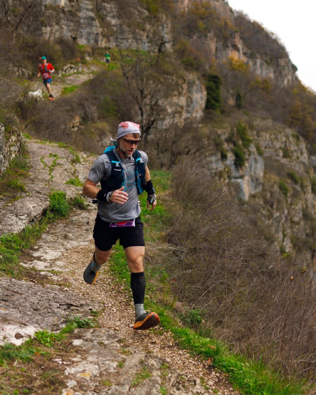
📷After the aid station comes the most spectacular and technical section of the day: running along cow paths on the edge of the cliffs, followed by a climb to the "Tooth" — an unnamed peak that everyone associates with Mount Dimats.
The descent from the Tooth, followed by a couple of kilometers before we rejoin the road, takes us into truly wild terrain. Even cows and horses are rare visitors here!

🏃🏽‍♂️‍➡️The road downhill is rocky and fast. By the way, this is where the familiar red-white-red markers and ANT signs will start appearing again. You'll want to open up and fly downhill at full speed, but remember: there's still one more day of racing ahead, so save at least a little strength for it! We'll also pass a farm with dogs on the descent, but they're either tied up or non-aggressive. About 300 m past the farm, don't miss the sharp right turn onto the trail!

The final 2.5 km are pure trail-running bliss: a gentle descent through beech forest on a beautiful, winding trail, with streams and rocky outcrops along the way. And right at the end: the best viewpoint overlooking Haghartsin Monastery, followed by the final tarmac to the finish line!

🍪If you still have some energy left, change your clothes and take a little walk around the monastery. And don't miss the chance to try what we think is the best gata in Armenia (and no, they're not paying us to say that!).

Track on map

russian version in comments
  • ❤ 7
Post #344 443
One month to go until race day, and we're starting to introduce the Yell Sport Fest 2026 routes. We begin with Day 1 of the stage trail race, on October 22.
📌 Lori Region, near the village of Debed.
Route stats: 38 km, just under 2,000 m of elevation gain.
🍎3 aid stations along the route,
⏱️Overall time limit is 9 hours.

A quick note for those who ran last year: the route now runs in the opposite direction, and roughly one-third of it features new and very interesting trails. The full breakdown:
🏠We start at the COAF Concept Hotel. The first 2 km are a downhill stretch on asphalt, followed by another kilometer of climbing on a gravel road after crossing the river and highway. From there, the route follows trails and dirt roads incorporated into the Armenian National Trail project.

⛰After the village of Dzoragyugh, we begin a gentle descent into the Dzoraget River gorge (by the way, in Armenian, "Dzor" means canyon or gorge, and "get" means river) Most of the descent follows the switchbacks of an old road. On your left, you'll see a church and the Hnevank Monastery complex, whose oldest buildings date back to the 7th century (continuing our Armenian lesson: "Hin" means old, and "Vank" means monastery.)

🏛After the aid station near the bridge over the Dzoraget River, the route follows the river. This is one of the few genuinely flat sections of the YSF26 routes. The rock formation across the river is Tsitskar, known as "the most Instagrammable rock in Armenia." (Although, of course, it looks a little more epic in online photos than it does in real life.) If you look closely, you can spot traces of stone walls behind the rock. These were fortresses of the Tashir-Dzoraget Kingdom in the 10th–12th centuries. Similar ruins can also be found on our side of the river.

🏃🏽‍♂️‍➡️After the reservoir, a beautiful and technical climb begins, winding through volcanic rock formations up to the plateau. A short run across scenic meadows brings us to the outskirts of Tsater village, followed by another descent.
Last year, the route crossed the Debed River near the Dzoraget Hydroelectric Power Station. This year, it descends about one-third farther, then follows a rocky ledge halfway up the slope for almost 4 km. It's a highly technical and fascinating section, and only afterward does the trail descend to the river.
In rainy conditions, be extremely careful on the traverse trail. There are many sections with slippery grass above steep drops.

❗️After the descent, you'll need to run approximately 500 m along the highway shoulder, so stay alert. The road crossing is near Aid Station 2, after the bridge.
There is an intermediate cutoff at the aid station: 5 hours. If you haven't reached it within the cutoff, you'll have to stop racing for the day.

🌿After the aid station, the route begins a gradual climb along a forest trail beside the gorge of the Marz River. It may not look particularly impressive on the map, but the trail itself is narrow and scenic, with rocky sections and pristine beech forest. This trail was also recently cleared and marked by the Armenian National Trail project team.
At kilometer 26, we reach a flat plateau near the village of Dsegh, the birthplace of Armenian poet Hovhannes Tumanyan. The route doesn't enter the village itself, but you'll see it on the horizon for a while. There's another aid station here, after which the route heads toward the slopes of Mount Berdak, gradually curving around its left side.

⚡️Kilometer 30 marks the beginning of the descent from Chkalov village toward Debed. The route initially follows dirt roads, then enters a stream canyon just before the village. A short run along the outskirts of Debed, and that's it: the long-awaited finish!

🕺Time to recover and recharge before the next day's start.

📌 Route link

🇷🇺russian version in comments
  • ❤ 17
  • ❤‍🔥 8
  • 🔥 4
  • 😍 4
Older posts →

About this channel

How can I read @yellsportfest without a Telegram account?
TGViewer shows the public web preview Telegram publishes for YELL SPORT FEST: recent posts, photos, videos and the subscriber count, with no app, login or account.
How many subscribers does YELL SPORT FEST have?
YELL SPORT FEST (@yellsportfest) has 614 subscribers on Telegram, refreshed roughly every 30 minutes.
Does YELL SPORT FEST know I viewed it here?
No. Public channel previews carry no viewer identity, and TGViewer has no accounts or tracking of what you look up.
Threads Profile ViewerView any public Threads profile without an account.Open ThreadLook →Writing with AI? Make it sound human.Metric37 rewrites AI drafts so they read naturally. Free AI detector, 1,500 words free.Try Metric37 →