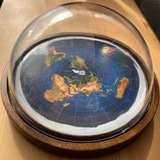
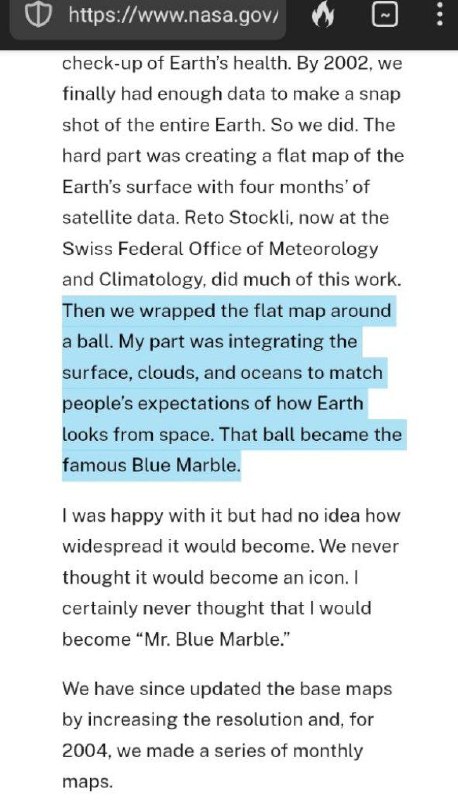
Robert Simon, NASA Data Visualizer, admits the globe earth model was from the flat earth map/flat map: "we wrapped the flat map around a ball. My part was integrating the surface, clouds, and oceans to match people's expectations of how earth looks from space. That ball became the famous Blue Marble"
https://www.nasa.gov/people-of-nasa/goddard-people/robert-simmon-aka-mr-blue-marble/
Basically they made a flat earth map and then sneakly wrapped it around a ball to please people's expectations. Also, they promoted satelittes, which are just helium balloons with technology, not floating tin cans with wings.
𝕯𝖔𝖒𝖊𝖉 𝕱𝕰 𝕸𝖆𝖓𝕮𝖆𝖛𝖊
https://t.me/DomedFEManCave
Post #660
785

- 👍 3